Searching for a campsite along the east coast of Australia in January is a challenge. I kept remembering that cartoon published way back in the 70s. It reflected whimsically on the lifestyle of the Australian summer holidays and the significance of the Nativity. The infant Jesus was adored by beachwear clad Aussies as he lay peacefully in an esky surrounded by caravans and tents festooned with beach towels, flipper and fishing gear. Well, at least that’s how the memory played out in my mind as yet another camping area, bursting at the margins, flicked past.
With sunset a little after 8.00pm, Summer Saving Time, finding somewhere to sleep for the night became an imperative. National Parks are almost invariably out of the question, unless one has had the foresight to book a spot beforehand. I certainly hadn’t done this as my journey was largely one of impulse and serendipity. There was no plan just a desire to go fishing at Lakes Entrance, despite reports of a blue green algal bloom. It was the 16th of January and my only deadline was the need to be in Melbourne for the commemoration of the tragic deaths of Tunnerminnerwait and Maulboyheenner on Friday January 20th.
The only option for camping that night was a State Forest so I decided to stay just on the NSW side of the border and head out towards Mt Imlay to a designated camping area known as Nelson’s crossing. It was supposed to be around 17kn from the Princes Highway and before long I saw the turn off. All looked very promising, Mount Imlay National Park to the north and Timbillica State Forest to the south . Tall stands of secondary forest and no other people were excellent signs as the road snaked up and away from the coastal zone.
My destination, Nelson’s crossing promised a fast running and left me with images of bullock drays making their slow passage up into the foot hills of the coastal ranges. Nelso, I imagined, must have been a pioneer timber cutter. This imagining was regularly reinforced as every 12 minutes or so a timber truck streaked past, presumably on its way to the mills around Eden.

Had I had access to the Internet I’d have learned several additional points about my destination. For one, Nelson’s crossing is surrounded by trees on the junction of Wallagaraugh River and Imlay Creek in Yambulla State Forest.
Now I knew it was 18km from the highway but when I arrived at the place where Imlay creek crossed Imlay Rd, I thought, “Ah, a crossing. Dam signage must have been wrong”. This was apparently confirmed when I noticed a small reserve with a picnic shed, fire place and a roughly landscaped area, plus a toilet.
Had I been a little less concerned about the westering sun I’d have noticed that a further 300 metres up the road was the turn-off the Nelson’s crossing, still another 4 km on.
So I began to set up camp. It was a peaceful setting, except that the timber rucks just kept coming, the bird life prodigious and varied. I became absorbed in the behaviour of a couple of Black Cockatoos. They had red tail panels but were far more subdued that the Red Tailed Black cockatoos I’d seen in the past. A quick search on the brilliant Michael Morcombe eGuide to the Birds of Australia on my iPad revealed that they were Glossy Black Cockatoos ( Calyptorhynchus lathami). That explained why they kept hanging around the casurina trees. They were doing exactly as the app said, ” . . . quietly feeding the the foliage of casuarina trees, the only sound being the busy clicking of bills as they demolish the hard, woody seed capsules.’
Settling in for the night, I felt uncomfortable, so close to the road. There’s safety in numbers out in isolated public spaces and there was no one else around, save the timber trucks that became infrequent after sunset. I dragged a few branches around the perimeter of my campsite, roughly walling it off and ensuring that anyone walking around at night would make enough noise to wake me up.
Rising with the sun I did battle with March Flies for a while, had a quick breakfast and broke camp. As I was leaving I thought I’d check out a sign further up the road. Sure enough it was the sign to Nelson’s crossing so I drove in. What a pity I missed it the night before.

Soon In was in Victoria and the Gippsland. In my mind this was bushfire country and there was plenty of evidence of past fires. Along the Hhighway south and west of Cann river there was plenty of evidence of earlier bush fires. The long straight stretches of road and limited traffic emboldened me to stand in the middle of the road for this shot.

Still intent on camping but wanting to avoid the crush of the coastal camping grounds, I made for what looked like an out of the way stretch of coastline that began at Bemm River, a small resort and fishing town on Sydenham Inlet. So, turning left at Manorina, a small cluster of galleries and craft shops, I drove to the coast, assuming that if Bemm river wasn’t suitable I could continue on minor roads to Lakes Entrance.
Bemm river is a backwater, just the place I wanted to stay, but I needed to be contactable and with only Telstra service my Optus connection simply wasn’t going to work. I tried a few open areas around the town but there was no service. The town seemed to have missed crush and ubiquitous connectivity.
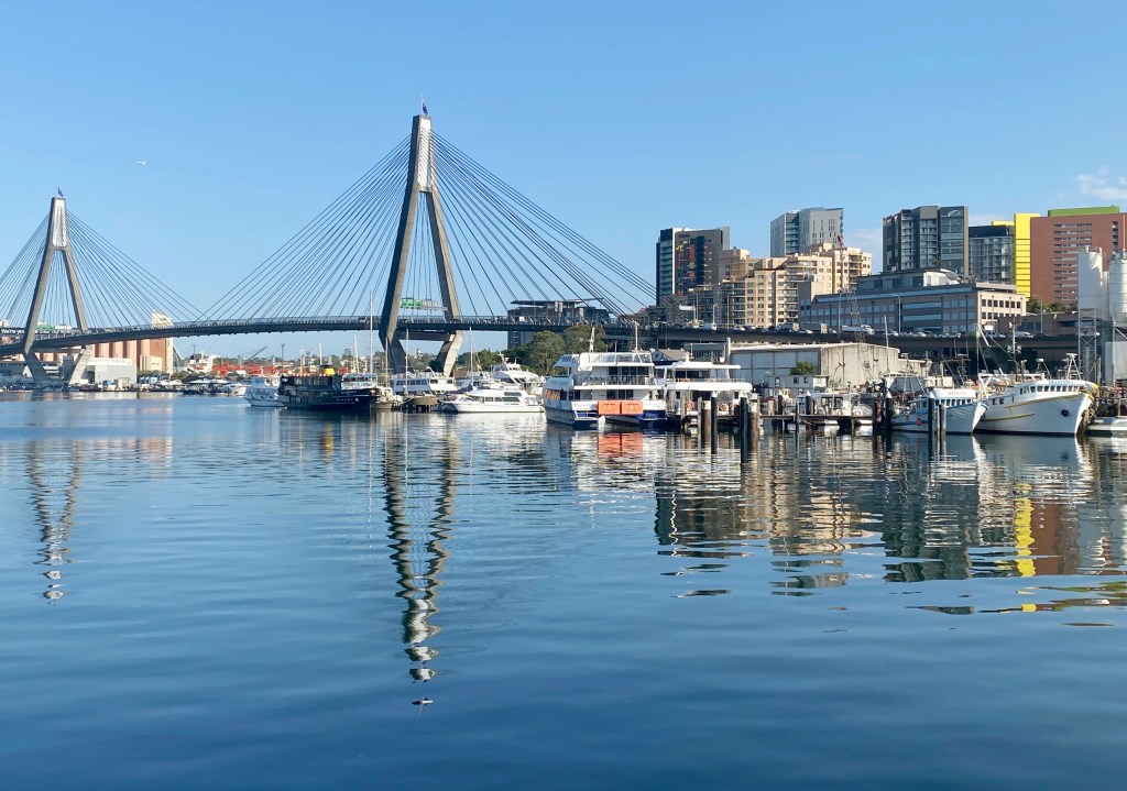
I’d hoped to travel along the Pearl Point Track from here. It seemed to traverse an absolutely pristine coastal coastal zone, with intact barrier dunes, lagoons and salt marsh. Chatting with a man selling bait from one of several outlets I soon discovered that the road through Cape Conran Coastal Park, had been shut to campers. Disappointed I returned to the highway and made straight for Lakes Entrance, With hindsight, I think I should have researched the area a little more thoroughly, but connectivity and the limited number of local informants was the main problem. By now I’d resolved to stay in a motel, so as soon as there was network I began searching for a likely destination and that was to be The Lakes Waterfront Motel, an excellent boutique motel with unobtrusive service, minimal to no traffic noise and a 50 metre walk to the lake, from my unit.
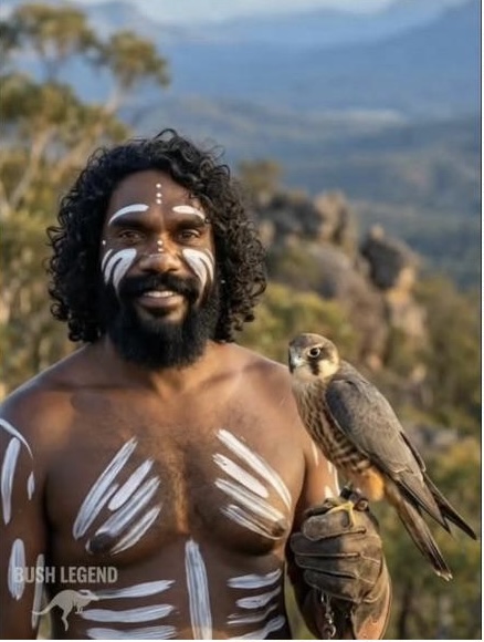
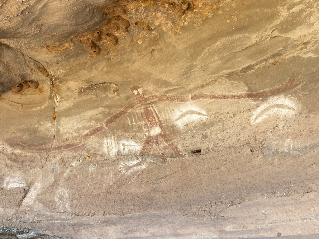
One thing that impressed me about this motel was the fair trading approach the proprietors adopted to indigenous art and craft. The front office was full of paintings and artifacts made by local Aboriginal people. According the the proprietors, these were sold wihout commission and all proceeds retirned to the artists. The area is on the lands of the the Gunai – Kurnai people. Their nation bordered on the lands of the Bidawal people to the east around Cann River and Mallacoota.
The arts, potentially, an important source of income for people in this area. It’s not a wealthy area. Lakes Entrance with its population of 6000 people, is most dependent on touriam and the fishing industry. Lakes Entrance has the second largest regional Indigenous population in Victoria.
Amongst the indigenous community there are several socio-economic challenges.
- The Indigenous unemployment rate is 3 times higher than the overall average, or about 30%
- Only 1 in 20 Indigenous people have access to a phone at home or own a vehicle
- 16% are homeless
- 11% are in special accommodation
See source Expanding Cultures Conference 2007. I haven’t had time to check for more recent stats, but I don’t expect they’ll show much variation.
Part 3 continues.

Leave a comment